
Temecula ZIP Code Directory Map
The Temecula ZIP code directory begins with three main postal codes used across the Temecula area: 92590, 92591, and 92592. The area descriptions below are qualified from official city addresses and local government material. They help sort a search, but they are not legal USPS boundary polygons and do not settle the city line.
| ZIP | Areas Covered | Post Office | Notes |
|---|---|---|---|
| 92590 | West Temecula, Old Town, and the civic and business west side | City Hall and Old Town address examples | Postal reach may extend beyond the precise city line. |
| 92591 | Central and north Temecula, including the County Center and Rancho California corridor | Temecula Post Office, 30777 Rancho California Rd; County Center examples | Main verified station hours are Mon-Fri 9-5 and Sat 10-3. |
| 92592 | South and east Temecula, Pauba, Redhawk, and the Pechanga-facing area | Postal route with Roberts Library at 30600 Pauba Rd as a verified address example | Includes rural and unincorporated addresses, including some Wine Country postal addresses. |
Qualified wording matters in Temecula. A neighborhood label can be useful for a person trying to recognize an area, while a parcel, jurisdiction, or legal description answers a different question. Do not add nearby ZIP codes simply because a broad Census result brings them into view. The documented Temecula set is 92590, 92591, and 92592.
Temecula ZIP Code 92590 Area
ZIP 92590 is the western slice of the local postal picture. Old Town and civic or business addresses help orient a search, but the postal label does not turn every nearby address into an incorporated Temecula record. Old Town is also a historic place name tied to the railroad era, so older records may use a community label instead of a modern ZIP.
The Temecula Valley Museum research gateway is a useful place to ask about photographs, maps, family files, and changing local place names when a postal clue needs historical context.
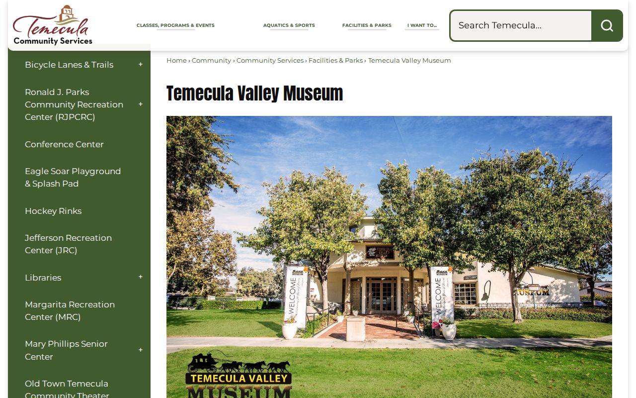
The museum does not replace a USPS check or a Temecula parcel search. It can, however, help distinguish Old Town, Rancho California, Pechanga, and other terms that may appear when a ZIP-based question reaches into earlier Temecula records.
Temecula ZIP Code 92591 Area
ZIP 92591 covers central and north Temecula, with the County Center and Rancho California corridor as practical reference points. The verified Temecula Post Office is at 30777 Rancho California Road. Its listed service hours are Monday through Friday from 9 a.m. to 5 p.m. and Saturday from 10 a.m. to 3 p.m. Those hours describe the station, not a promise that every Temecula record request or local office follows the same schedule.
Temecula county offices in this corridor show why ZIP and jurisdiction must be kept apart. A postal address may help locate a public counter, yet a parcel record still depends on the Riverside County system, while a city permit request depends on whether the land is inside Temecula. The ZIP code directory can point toward the right area, but it cannot choose the custodian for every Temecula record.
For an older Temecula name or place clue, the FamilySearch Riverside County catalog is a catalog and digitized-collection path, not a ZIP index.
The catalog image reinforces a key limit: historical sources are arranged by county, record series, or community, not by the postal ZIPs used today.
Temecula ZIP Code 92592 Area
ZIP 92592 reaches south and east through Temecula toward Pauba, Redhawk, and the Pechanga-facing area. Some Wine Country addresses use this postal identity even though Wine Country and other rural areas can sit outside the incorporated city. Roberts Library at 30600 Pauba Road is a verified 92592 address example, not proof that every Temecula address in the ZIP falls under the same city office.
That Temecula distinction changes the next step. City services, including permits and code work, apply after jurisdiction is checked. A rural address with a Temecula mailing label may instead lead to Riverside County Building and Safety or another county custodian. A ZIP code directory should flag that fork early, before a request is sent to the wrong Temecula desk.
Find Temecula Residents by ZIP Code
A Temecula ZIP filter is a starting screen, not an open resident roll. Riverside Property Search accepts a street number and name or an APN, and its public web result does not display owner names. Map My County supplies parcel geography and layers. California My Voter Status is a personal verification tool, while broader voter-file access is limited to approved purposes. None of these sources is a true Temecula ZIP-wide resident directory.
- Check the Temecula city and state with the USPS city and state ZIP lookup. Keep the result tied to the exact mailing label rather than a guessed neighborhood.
- Use Riverside County Property Search with the Temecula street address or APN. Save the parcel number, situs address, and assessment clues; expect the public web result to omit the owner.
- Open the Riverside Map My County viewer to compare the parcel with city, tract, zoning, hazard, and boundary layers. A parcel map is context, not a legal survey.
- Use California My Voter Status only for the permitted personal verification task. Do not treat it as a way to browse a ZIP or block.
- Once the ZIP narrows the question to one address, move to the Temecula street records walkthrough for address-keyed work.
The Temecula sequence keeps postal, parcel, civic, and voter evidence in their proper lanes. It also prevents a searcher from treating an owner, a mailing addressee, and an occupant as the same person.
Temecula USPS ZIP Verification
USPS city and state verification is the cleanest way to test whether a Temecula ZIP belongs with the place label being used. It verifies the mailing combination. It does not verify incorporation, ownership, occupancy, or a person’s identity. The form is therefore useful before a Temecula address request, a parcel search, or a family-history query, but it is not a people search.
Use the three documented Temecula ZIPs as a controlled set. If a source returns a different place name, keep the source result and investigate the address rather than forcing it into the Temecula city line. A postal route can cross a boundary, and a city document can use a legal jurisdiction that does not match the delivery label.
Note: USPS verification confirms delivery geography, while Riverside records determine which office can answer an address or parcel question.
Temecula ZIP Codes and City Limits
The city material states that 92590, 92591, and 92592 comprise the Temecula area while warning that the set includes large rural areas outside the city. Wine Country, De Luz, and Morgan Hill are specifically named as unincorporated areas outside Temecula city jurisdiction, even when an address uses a Temecula postal identity. This is the core boundary quirk in the local ZIP code directory.
For a Temecula city-created record, verify the city boundary with the city’s jurisdiction tool or Community Development route. For an unincorporated address, use Riverside County Building and Safety or the county record custodian. City permits and city public-record requests should not be assumed to cover every address bearing a Temecula ZIP.
Postal is not legal geography. A Temecula ZIP can reach beyond the incorporated line. Confirm the parcel and governing office before treating a ZIP result as a Temecula city record.
Temecula ZIP Code and Census ZCTA
A Temecula ZIP code is a USPS delivery label. A ZIP+4 adds four digits to make delivery sorting more precise. A PO-box ZIP serves box delivery points and may not describe a set of street parcels. A unique ZIP is assigned to one organization or institution. A carrier route is a delivery route within the postal system. These terms describe delivery structure, not a roster of Temecula residents.
A Census ZCTA is different. It is a generalized statistical approximation built from delivery geography, and it may be noncontiguous or differ from the ZIP used by a live Temecula address. Census data can therefore help describe population or place, but a ZCTA match should not be used to assign a city office, an owner, or a current occupant.
The National Archives census research guidance adds a second time limit. Population schedules are released under a 72-year rule, making 1950 the newest public schedule. Census geography and USPS geography should be compared with care, especially when a historical Temecula search uses Pechanga, Old Town, Rancho California, or a predecessor county.
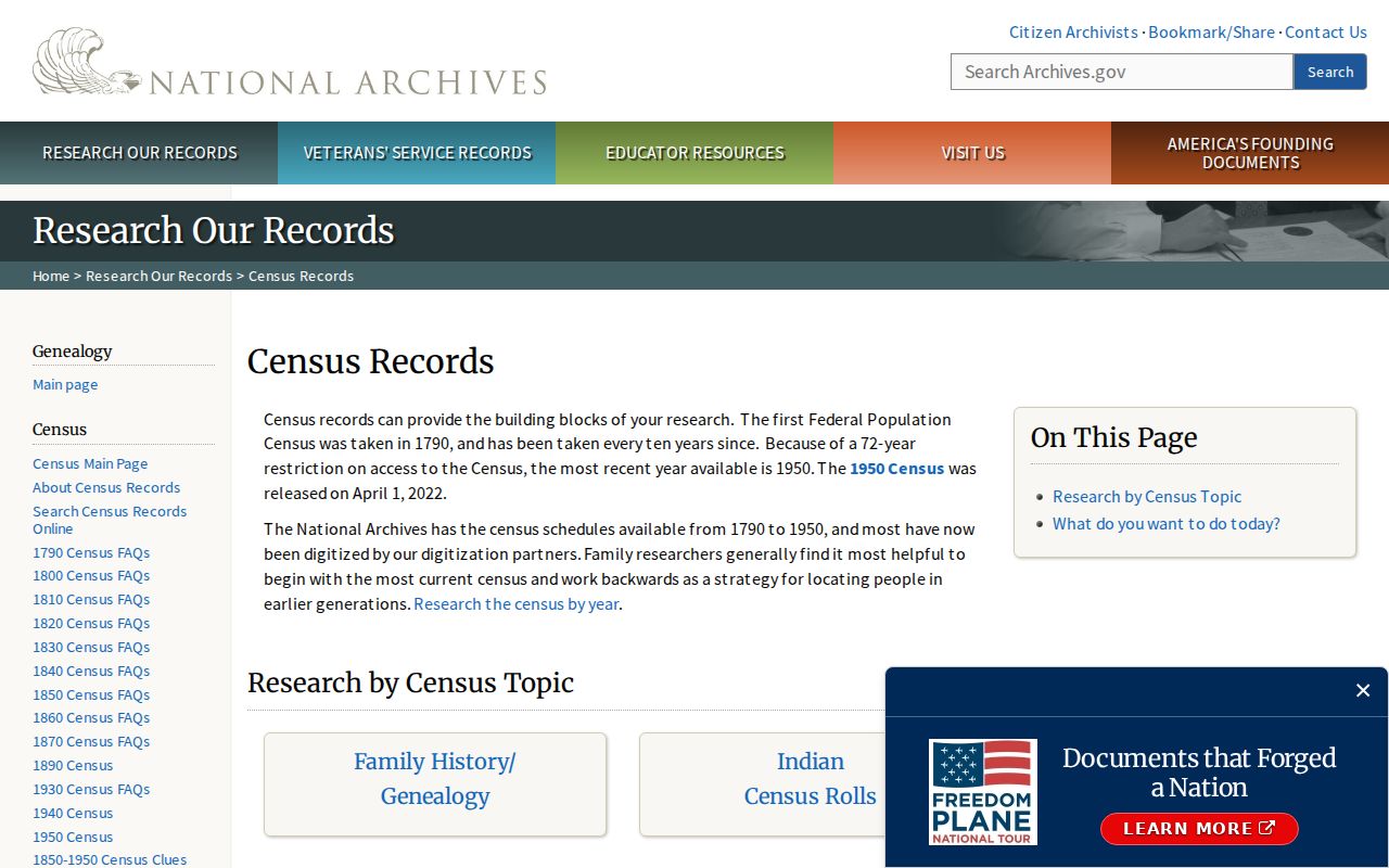
The census source is valuable for historical households and place context, but it cannot turn an older schedule into a current ZIP code directory.
Temecula ZIP Portal Limits
Temecula Riverside Property Search is address and APN keyed. The public page can return a parcel number and assessment details, but owner names are deliberately absent online. Ownership can be inspected at an ACR office under Revenue and Taxation Code section 408. That is a counter-access rule, not a broken ZIP search.
Map My County adds Temecula parcel, address, tract, zoning, hazard, and boundary context. The county and assessor data are supplied without a survey warranty, so the map should not be used as a legal boundary survey. My Voter Status asks a person for personal details to view their own registration status, party preference, polling place, vote-by-mail status, and election information. The broader voter file is available only for approved election, governmental, scholarly, journalistic, or political purposes.
No true Temecula ZIP-wide resident search-field table is supported by these sources. The accurate comparison is narrower: address or APN for property, map tools for geography, and restricted voter access for authorized work. A ZIP code directory that promises a single public list would overstate what Riverside and California systems provide.
Temecula ZIP Address Requests
New Temecula construction, accessory dwelling units, and temporary power need an official address before project submittal. The first move is to verify whether the parcel is in Temecula. The city’s Community Development and permit route provides the city-side starting point, while an unincorporated parcel belongs with the county.
The stated Temecula city targets are seven business days for temporary power; ten for an ADU, custom home, or single commercial or industrial building; and thirty for mixed-use, multifamily, and single-family tracts. These are address-assignment targets, not ZIP directory response times. A project in Wine Country, De Luz, Morgan Hill, or another unincorporated area should not be sent to the city simply because the ZIP says Temecula.
Use the official Temecula address, APN, and jurisdiction together. A legal description identifies the land, a situs address identifies the physical location, and a mailing address identifies delivery. Keeping those three labels apart is the safest way to finish a ZIP-based search without turning postal geography into a claim about a resident.